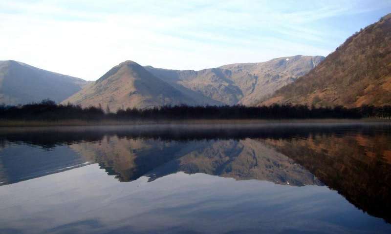
Whether extreme river floods are becoming more frequent and/or severe in a warming world remains under debate, partly because instrumental measurements of river discharge are too restricted in length to detect shifts from natural variability.
In this open access article for Geology, Daniel Schillereff and colleagues demonstrate for the first time the recovery in a systematic manner of flood frequency and magnitude data from temperate lakes that accumulate homogeneous (visually similar) sediments.
Characterizing contemporary sediment dynamics and material accumulated during recent floods of known-magnitude has established a relationship to river discharge and quantified a threshold of deposit preservation. Lakes of this type are widely distributed globally but largely unexploited for the purposes of paleoflood research; implementation of our approach will yield new sources of paleohydrological information to help model and mitigate future flood risk.
Reference:
Hydrological thresholds and basin control over paleoflood records in lakes, Daniel N. Schillereff et al., School of Environmental Sciences, Roxby Building, University of Liverpool, L69 7ZT Liverpool, UK. This paper is OPEN ACCESS online at DOI: 10.1130/G37192.1
Note: The above post is reprinted from materials provided by Geological Society of America.


