back to top
Facebook Instagram Linkedin TikTok X Youtube
  • Contribute
  • Advertising
  • FAQs
Search

Logo

27.8 C
New York
Monday, August 17, 2026
Facebook
Instagram
Linkedin
TikTok
X
Youtube

Logo

  • Home
  • List of Minerals
  • Geologic Time Scale
  • Geology Tools
  • Geology Adventure Tours
  • Plate Tectonics Map
    • Plate Boundary Map
  • Top Posts
  • Geology Jobs
  • GEO Courses
  • Geology Field Camps
  • Geology Field Camps in United States
  • Worldwide Geological Surveys
More
    Hot Springs in Yellowstone National Park

    How sulfur helped make Earth habitable before the rise of oxygen

    November 7, 2019

    Earthquake impact can be affected by seasonal factors, historical study shows

    November 7, 2019

    Studying the snowmelt episodes of a Pyrenean river with a seismometer

    November 7, 2019
    Peaty sedimentary archive from a palm swamp collected with a Russian corer. (Image:Encarni Montoya)

    A new study shows the evolution and changes of the vegetation...

    November 7, 2019
    Ore Minerals

    Ore Minerals : What are Ore Minerals?

    November 4, 2019
    Opalized Ammonite

    Research offers insight into how oldest fossils formed

    November 2, 2019
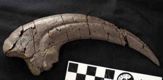
    Fossilised 20 centimetre long hand claw of theropod discovered at Eric the West site on Victoria’s Otway Coast. Credit: Stephen Poropat/Museums Victoria

    Huge-clawed predatory dinosaur discovery in Victoria

    November 2, 2019
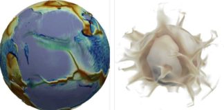
    Images of the numerical solution at the moment when a supercontinent (left, in purplish grey) begins to break up. In the image on the left, the modelled fictional planet looks much like the Earth: its surface and mantle move spontaneously, at speeds close to those observed on Earth. The distribution of the plates (some of which are large, while many are small) is also similar, as is the topography: red hues represent shallow regions of the ocean (ridges), while blue indicates the deep seafloor. The deepest blue areas correspond to subduction trenches (where a plate is sinking into the mantle). The continents are shown in translucent white (and therefore appear purplish grey).The image on the right shows warm currents (plumes) rising from the bottom of the mantle. Credit: Nicolas Coltice

    What makes the Earth’s surface move?

    November 2, 2019
    As part of MISTI-India, Megan Guenther, a junior in EAPS, records field notes about the landscape of the Kohistan-Ladakh region of the Himalayas in northern India. Credit: Craig Martin

    Collision course: A geological mystery in the Himalayas

    November 2, 2019
    Woolly mammoth illustration Mauricio Antón © 2008 Public Library of Science

    Archaeologist finds evidence of extinction theory

    October 29, 2019
    1...115116117...686Page 116 of 686

    Related Articles

    All
    • All
    • Featured
    • All time popular

    Earth was stressed before dinosaur extinction

    December 15, 2019

    Hang Son Doong “The World’s Largest Caves”

    May 14, 2016

    Recent research provides new data on chemical gardens, whose formation is a mystery for...

    February 18, 2015

    Tooth wear sheds light on the feeding habits of ancient elephant relatives

    July 28, 2016

    Cretaceous croc had steamy past

    March 29, 2018

    Can slow creep along thrust faults help forecast megaquakes?

    February 5, 2016

    Facebook Instagram Linkedin TikTok X Youtube
    • Privacy Policy
    • Advertising
    • Contribute
    • FAQs
    © 2011-2026. All Rights Reserved.