The ice on Greenland could only form due to processes in the deep Earth interior. Large-scale glaciations in the Arctic only began about 2.7 million years ago; before that, the northern hemisphere was largely free of ice for more than 500 million years. Scientists at the German Research Centre for Geosciences GFZ, Utrecht University, the Geological Survey of Denmark and Greenland (GEUS) and the University of Oslo could now explain why the conditions for the glaciation of Greenland only developed so recently on a geological time scale.
The reason for that is the interaction of three tectonic processes. For one thing, Greenland had to be lifted up, such that the mountain peaks reached into sufficiently cold altitudes of the atmosphere. Secondly, Greenland needed to move sufficiently far northward, which led to reduced solar irradiation in winter. Thirdly, a shift of the Earth axis caused Greenland to move even further northward.
Hot rocks underneath Iceland
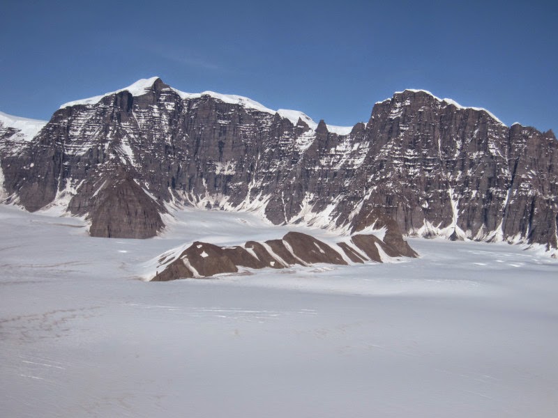
These glaciations began in the East of Greenland. The authors found hints in rock samples that the high mountains in the east of Greenland were only uplifted during the last ten million years, whereby this process happened especially fast since about 5 million years ago. At that time, Greenland was still largely free of ice. Seismological investigations indicate that hot rocks rise underneath Iceland from Earth’s deep mantle. These observations were used as input in computer models by main author Bernhard Steinberger at the German Research Centre for Geosciences GFZ. “These hot rocks flow northward beneath the lithosphere, that is, towards eastern Greenland,” Steinberger explains. “Because the upwelling beneath Iceland −the Iceland plume − sometimes gets stronger and sometimes weaker, uplift and subsidence can be explained.”
Greenland migrating
The seismological investigations also showed that the lithosphere in the East of Greenland is especially thin — only about 90 kilometers thick. Earth scientists Steinberger and colleagues reconstructed the position of the tectonic plates 60 to 30 million years ago, and found that the Iceland plume was exactly beneath this part of Greenland during that time. This explains why the lithosphere is so thin. For that reason, the eastern part of Greenland could also be more easily uplifted: Plume material can flow up to a depth of less than 100 km and therefore lift up the overlying lithosphere comparatively easily.
Whereas the Iceland plume remained in approximately the same position in Earth mantle, Greenland moved as a tectonic plate, with a northward component of six degrees of latitude during the past 60 Million years, towards cooler regions.
Shift of Earth axis
This northward motion was amplified through “True polar wander”: “Our computations show that Earth axis shifted about 12° towards Greeland during the last 60 million years” GFZ researcher Steinberger says. Therefore, in combination with the tectonic plate motion, Greenland moved about 18° northward. It was now sufficiently far north, and its mountain tops in the East were sufficiently high, such that glaciations could be initiated.
Reference:
Bernhard Steinberger, Wim Spakman, Peter Japsen, Trond H. Torsvik. The key role of global solid-Earth processes in preconditioning Greenland’s glaciation since the Pliocene. Terra Nova, 2014; DOI: 10.1111/ter.12133
Note : The above story is based on materials provided by GFZ GeoForschungsZentrum Potsdam, Helmholtz Centre.


