back to top
Facebook Instagram Linkedin TikTok X Youtube
  • Contribute
  • Advertising
  • FAQs
Search

Logo

27.8 C
New York
Wednesday, September 16, 2026
Facebook
Instagram
Linkedin
TikTok
X
Youtube

Logo

  • Home
  • List of Minerals
  • Geologic Time Scale
  • Geology Tools
  • Geology Adventure Tours
  • Plate Tectonics Map
    • Plate Boundary Map
  • Top Posts
  • Geology Jobs
  • GEO Courses
  • Geology Field Camps
  • Geology Field Camps in United States
  • Worldwide Geological Surveys
More
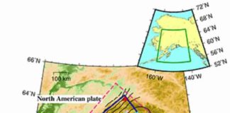
    Tectonic map of the Alaska subduction zone

    The link between temperature, dehydration and tectonic tremors in Alaska

    June 4, 2022
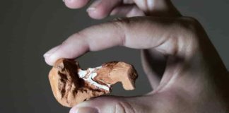
    Partial skull of Maehary bonapartei (CAPPA/UFSM 0300), left side, highlighting the maxilla. Photo: Rodrigo Temp Müller.

    A new 225-million-year-old reptile from Brazil

    May 6, 2022
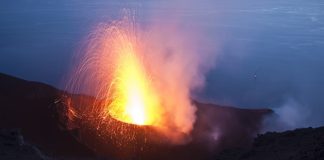
    One of the strombolian explosions that have occurred at Stromboli about every 10 minutes for at least 2000 years. © UNIGE, Luca Caricchi

    Volcanoes at fault if the Earth slips

    May 6, 2022
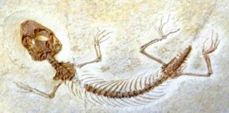
    The fossil of Jurassic lizard Eichstaettisaurus. Credit: Jorge Herrera Flores

    Researchers discover overlooked Jurassic Park of lizards

    May 6, 2022
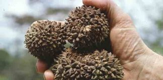
    The large, woody fruits of the Manicaria saccifera palm that depend on large animals for their dispersal. (Picture: John Dransfield, Royal Botanic Gardens, Kew)

    Dinosaur extinction changed plant evolution

    May 6, 2022
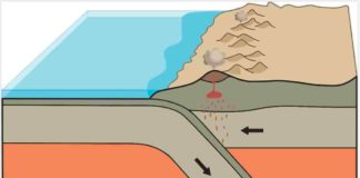
    Creative destruction: a thinner ocean plate sides under a continental plate, melting and recycling the ocean crust into the Earth’s interior and birthing volcanoes in this illustration of subduction, a consequence of modern plate tectonics. A new study reports evidence of a transition in multiple locations around the world, 3.8-3.6 billion years ago, from stable “protocrust” to pressures and processes that look a lot like modern subduction, suggesting a time when plates first got moving. Credit: Nikolas Midttun, CC-BY

    Earliest geochemical evidence of plate tectonics found in 3.8-billion-year-old crystal

    May 6, 2022
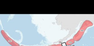
    Map shows location of the Shumagin Gap, location of the 2020 Simeonof and 2021 Chignik earthquakes. Map courtesy Alaska Earthquake Center.

    Major 2020 Alaska quake triggered neighboring 2021 temblor

    May 6, 2022
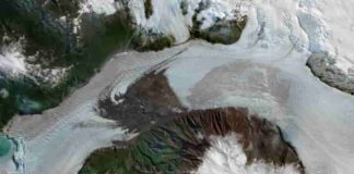
    Using satellite imagery (shown above) to study the effects of a 2019 landslide on the Amalia Glacier in Patagonia, a University of Minnesota-led research team found the landslide helped stabilize the glacier and caused it to grow by about 1,000 meters over the last three years. Photo credit: Max Van Wyk de Vries

    Landslides can have a major impact on glacier melt and movement

    May 6, 2022
    Basalt mit frischen Klinopyroxenen (credit Jonas Tusch)

    Sampling the deep graveyard of Earth’s earliest crust

    May 6, 2022
    Vertebrate bones exposed during fieldwork in the Zhebao region of Guangxi ProvinceThe arrows indicate ribs, exposed in cross-section

    Large Mesozoic Marine Reptile Described

    April 16, 2022
    1...525354...686Page 53 of 686

    Related Articles

    All
    • All
    • Featured
    • All time popular

    Climate change could increase volcano eruptions

    November 25, 2017

    Scientists identify almost two million previously ‘hidden’ earthquakes

    April 19, 2019

    Ice, wind and sea

    July 25, 2016

    Sexing Stegosaurus “Stegosaurus plates may have differed between male, female”

    April 23, 2015

    NASA aids response to Nepal quake

    May 4, 2015

    Sannur Cave, Beni Suef, Egypt

    April 11, 2016

    Facebook Instagram Linkedin TikTok X Youtube
    • Privacy Policy
    • Advertising
    • Contribute
    • FAQs
    © 2011-2026. All Rights Reserved.