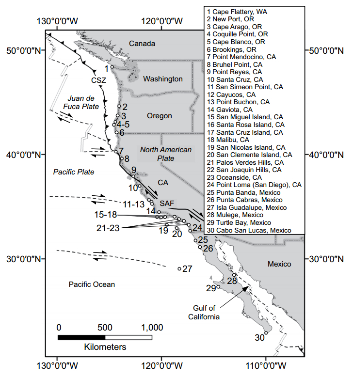
A new GSA Bulletin study shows that uplift rates across the Pacific Coast of the USA and northern Mexico have been overestimated by an average of more than 40%. These lower uplift rates imply that the shorelines of the West Coast are rising at a slower rate than previously thought, and this may have important implications for coastal management, including earthquake hazards and the potential impact of sea-level rise to coastlines across the Pacific Coast.
In their paper for GSA Bulletin, Alexander Simms and colleagues write, “Factors other than tectonics contribute to local sea-level change, and one important, yet often overlooked, contribution is the earth-ocean response to the changing distribution of surface loads of ice and water, often referred to as … glacial isostatic adjustment. Neglect of this effect, particularly along coastal sections at variable distances from the former ice sheets, such as the eastern Pacific coast from northern Mexico to the U.S.-Canada border, introduces large errors in uplift estimates.”
Reference:
Marine terraces and rates of vertical tectonic motion: The importance of glacio-isostastic adjustment along the Pacific Coast of central North America
A.R. Simms et al., University of California, Santa Barbara, California, USA. Published online ahead of print on 29 July 2015; DOI: 10.1130/B31299.1.
Note: The above post is reprinted from materials provided by Geological Society of America.


