Earthquakes and tsunamis can be giant disasters no one sees coming, but now an international team of scientists led by a University of South Florida professor have found that subtle shifts in the earth’s offshore plates can be a harbinger of the size of the disaster.
In a new paper published today in the Proceedings of the National Academy of Sciences, USF geologist Tim Dixon and the team report that a geological phenomenon called “slow slip events” identified just 15 years ago is a useful tool in identifying the precursors to major earthquakes and the resulting tsunamis. The scientists used high precision GPS to measure the slight shifts on a fault line in Costa Rica, and say better monitoring of these small events can lead to better understanding of maximum earthquake size and tsunami risk.
“Giant earthquakes and tsunamis in the last decade — Sumatra in 2004 and Japan in 2011 — are a reminder that our ability to forecast these destructive events is painfully weak,” Dixon said.
Dixon was involved in the development of high precision GPS for geophysical applications, and has been making GPS measurements in Costa Rica since 1988, in collaboration with scientists at Observatorio Vulcanológico y Sismológico de Costa Rica, the University of California-Santa Cruz, and Georgia Tech. The project is funded by the National Science Foundation.
Slow slip events have some similarities to earthquakes (caused by motion on faults) but release their energy slowly, over weeks or months, and cannot be felt or even recorded by conventional seismographs, Dixon said. Their discovery in 2001 by Canadian scientist Herb Dragert at the Pacific Geoscience Center had to await the development of high precision GPS, which is capable of measuring subtle movements of the Earth.
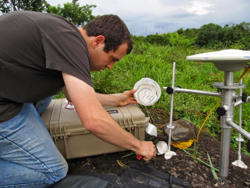
The scientists studied the Sept. 5, 2012 earthquake on the Costa Rica subduction plate boundary, as well as motions of the Earth in the previous decade. High precision GPS recorded numerous slow slip events in the decade leading up to the 2012 earthquake. The scientists made their measurements from a peninsula overlying the shallow portion of a megathrust fault in northwest Costa Rica.
The 7.6-magnitude quake was one of the strongest earthquakes ever to hit the Central American nation and unleased more than 1,600 aftershocks. Marino Protti, one of the authors of the paper and a resident of Costa Rica, has spent more than two decades warning local populations of the likelihood of a major earthquake in their area and recommending enhanced building codes.
A tsunami warning was issued after the quake, but only a small tsunami occurred. The group’s finding shed some light on why: slow slip events in the offshore region in the decade leading up to the earthquake may have released much of the stress and strain that would normally occur on the offshore fault.
While the group’s findings suggest that slow slip events have limited value in knowing exactly when an earthquake and tsunami will strike, they suggest that these events provide critical hazard assessment information by delineating rupture area and the magnitude and tsunami potential of future earthquakes.
The scientists recommend monitoring slow slip events in order to provide accurate forecasts of earthquake magnitude and tsunami potential.
Reference:
Timothy H. Dixon, Yan Jiang, Rocco Malservisi, Robert McCaffrey, Nicholas Voss, Marino Protti, and Victor Gonzalez. Earthquake and tsunami forecasts: Relation of slow slip events to subsequent earthquake rupture. PNAS, 2014 DOI: 10.1073/pnas.1412299111
Note : The above story is based on materials provided by University of South Florida (USF Health).


