A hydro-geologist has found an inexpensive, high-quality three-dimensional imaging method for aquifers and other below-ground features.
Conventional cross-well surveys require a monitoring bore containing sensors, and another source well in which a seismic shock is produced.
He then measured and interpreted the differences between signals received at varying depths in the two wells to produce an image of the geology in between.
“When compared to conventional walkaway vertical seismic profiling, the only additional effort required to complete dual-well walkaway vertical seismic profiling is the deployment of seismic sensors in the second well,” Dr Al Malki says.
He conducted the experiments at the Water Corporation’s Mirrabooka aquifer storage and recovery site during his PhD studies, under the supervision of Curtin University Associate Professor Brett Harris.
“[This project] was looking at banking excess water in the shallow aquifers into deeper aquifers that are slightly depleted,” Prof Harris says.
“The main thing was to look for ways of characterising the rock around those formations.”
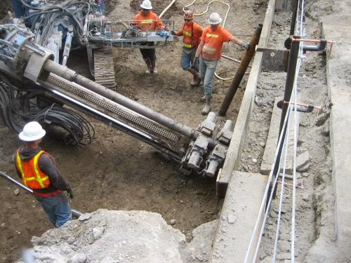
He says they used a 1000kg piece of concrete, dropped from a Bobcat, as a weight-drop source of seismic energy.
“[The] surface source bangs the ground on, in our case, about 150 locations and then we use the energy as it propagates through the earth between the two wells.
“The path of the seismic energy goes from one well to the other well but all at different angles from the different source positions on the surface.”
He says this allows them to reconstruct sub-surface source positions in the well nearest to the seismic energy source.
“It looks like there was a source there without you actually having to put one there,” he says.
“That information can be used to actually reconstruct what a source would look like if it were located underground.”
He says the beauty of this method is that there is no need to place a seismic shock source inside a purpose-drilled hole.
“It’s really a non-invasive method of understanding what the distribution of the key interfaces are,” Prof Harris says.
He says the technique could be applied to assess underground environments for petroleum, geothermal and groundwater reserves and carbon storage sites.
Note : The above story is based on materials provided by Science Network WA


