>Introduction
Geocalc 4.20:
- Converts coordinate data files between most of the commonly-used mapping systems world-wide.
- Uses seven-parameter transformations.
- Has user-definable parameters allowing deployment anywhere in the world on almost any spheroid or mapping system.
- Includes a large number of predefined mapping systems and spheroids.
- Includes Geocentric Datum of Australia.
- Compares geodesy of the same point in two different mapping systems.
- Displays geographic, geocentric and projection coordinates of three dimensional points in any defined Mapping System.
- Displays point scale factor and grid convergence.
- Is a 32-bit Windows application.
- Includes complete documentation in Help.
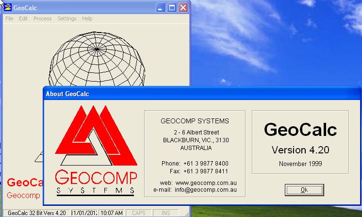
- Is Copyright © Geocomp Systems.
- Is downloadable free of charge from the web.
- Is included on our Geocomp 10 CD.
- Was released in November 1999.
Examples of supported mapping systems
- Local Grid – chose your own
- Mercator
- Transverse Mercator – Australia (AMG, ISG, MGA), NZ, Germany, Canada, USA, Great Britain and Russia
- Stereographic – Polar regions, Nederlands, Hungary, Poland
- Lambert 1 Parallel – France, Belgium, Denmark
- Lambert 2 Parallel – World Aeronautical Charts
- Cassini-Soldner
- Gnomic
- New Zealand Map Grid
- Skew Orthomorphic
Some of the predefined spheroids
- WGS84
- WGS72
- WGS99
- Australian GDA94/MGA94
- Bessel 1841
- Malaysia Kertau 1948 Everest Modified
- North American Datum 1983
File Formats
Geocalc supports a wide range of ASCII text coordinate formats for import and export. Coordinates can be expressed as Latitudes and Longitudes, Easting and Northing or X,Y,Z. The following coordinate file formats are predefined:
- Geocomp Spatial Data System (.PTS & .STR)
- Geocomp Field File (.FLD)
- GeoNav Coast File (.CST)
- UKOOA P1/90
- X Y Z
GeoCalc 4.20 is an ideal companion for Geocomp, GeoNav, or any other point-based spatial data system.
Download Geocalc 4.20
- Download gcalc420.exe (2 MB).
- Uninstall any previous versions of GeoCalc using Control Panel.
- Run the self-extracting gcalc420.exe.
- Run C:Program FilesGeoCalcInstallsetup.exe.
- Select GeoCalc from the Windows Start Menu.
- See GeoCalc Help for instructions.
Screenshot


